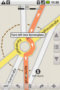
After reviewing a bunch of options for “offline” GPS use on my Android phone, I settled on NavDroyd, a paid, albeit powerful looking application that didn’t need to be online for anything.
Using just the built-in GPS and offline Open Street Map data that you download and update from their servers for free from within the app, you can do all the normal GPS functions like look for points of interest, get driving directions, have it read out turn by turn directions while showing you on the map, etc…
There wasn’t a good way to test how it would work in Italy, so I downloaded all the maps and data for Italy (under 100MB in their compressed form), played around, simulated drives, and got comfortable with the interface.